
The Madera/Chowchilla Resource Conservation District
Welcome to the Madera/Chowchilla Resource Conservation District. We are dedicated to preserving the natural resources and agricultural heritage of Madera County. Through sustainable practices and community collaboration, we strive to protect the lands that sustain our community, ensuring they remain vibrant and productive for future generations.
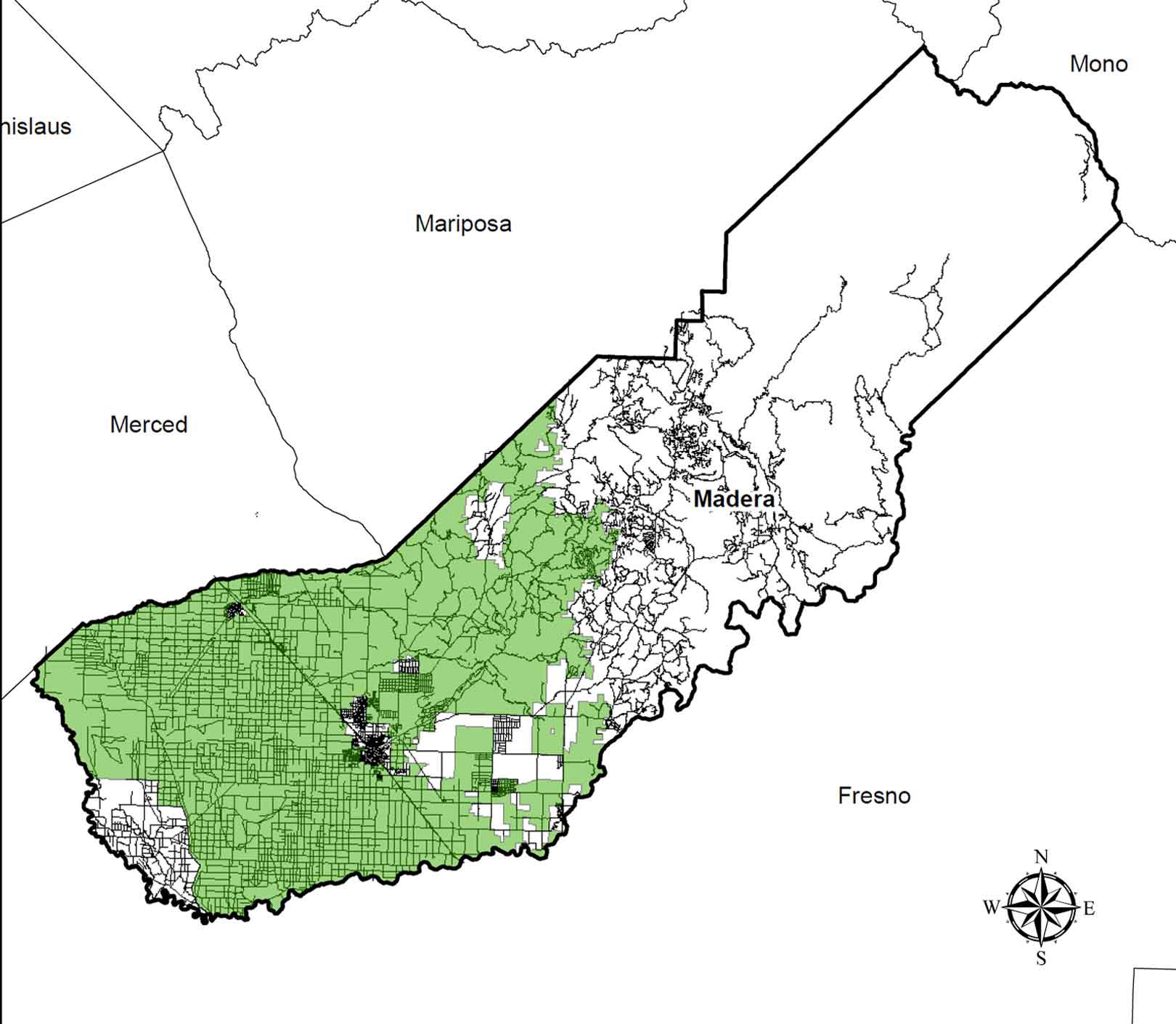
MCRCD Area Boundaries
The MCRCD boundary area is found within western Madera County, in the Central San Joaquin Valley of California.
It is bounded on the north by both the East Merced RCD and the Mariposa County RCD; on the east by the Coarsegold RCD; on the south by Sierra RCD; on the west by both the Columbia RCD and the Poso RCD.
The District also totally surrounds the Picayune Rancheria Tribal RCD.
District Overview
Madera/Chowchilla RCD consists mostly of lower elevations of the Sierra Nevada and the San Joaquin Valley floor, where ranching and productive agricultural activities are prevalent. Properties within our sphere of influence (SOI) generally consist of ranching, productive agricultural activities, and open space lands.
About Us
The mission and vision of the Madera/Chowchilla Resource Conservation District is is to provide education and technical guidance in sustainable resource conservation and management to our communities, landowners, and managers; both current and future.
About Us
MCRCD Services
Madera/Chowchilla RCD provides the following services based on the RCD’s listed priorities:

About Us
History of the Madera/Chowchilla Resource Conservation District
Resource Conservation Districts were created to develop and further ongoing programs designed to conserve natural resources. Chowchilla Soil Conservation District and Red Top Soil Conservation District were both formed in 1956. The two districts consolidated in 1978 to form Chowchilla Red Top RCD. East Madera and Bonita Soil Conservation Districts were both formed in the 1950s. The two districts consolidated in 1995 and became the Madera RCD. In 2018, Madera RCD and Chowchilla Red Top RCD consolidated to form the current Madera/Chowchilla Resource Conservation District.
Madera/Chowchilla RCD covers 550,000+ acres in Madera County, focusing on sustainable resource conservation and agricultural land protection.
Quick Links
Projects
Contact Us
Mailing Address
District Size